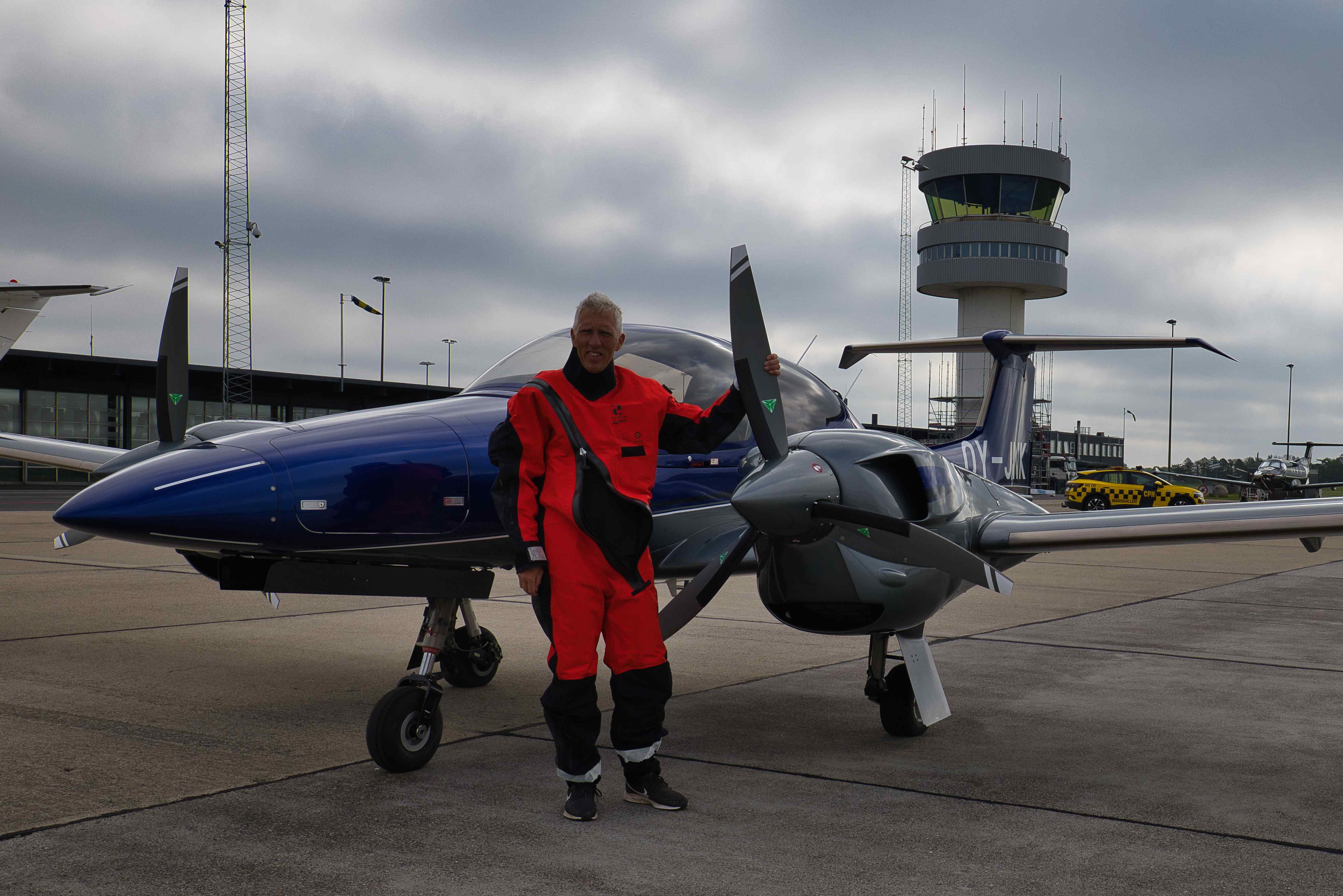
May 2025 – A stationary high pressure weather system was forecast to settle over the Faroes for three days around middle of May. So my aviation and hangar body Martin Wilstrup and I decided to fly there and enjoy what turned out to be almost three days of complete cloudlessness, a really rare phenomenon for the Faroes.
We flew four legs, a total of 1,800 nautical miles in a total of 11 hours of airborne time.
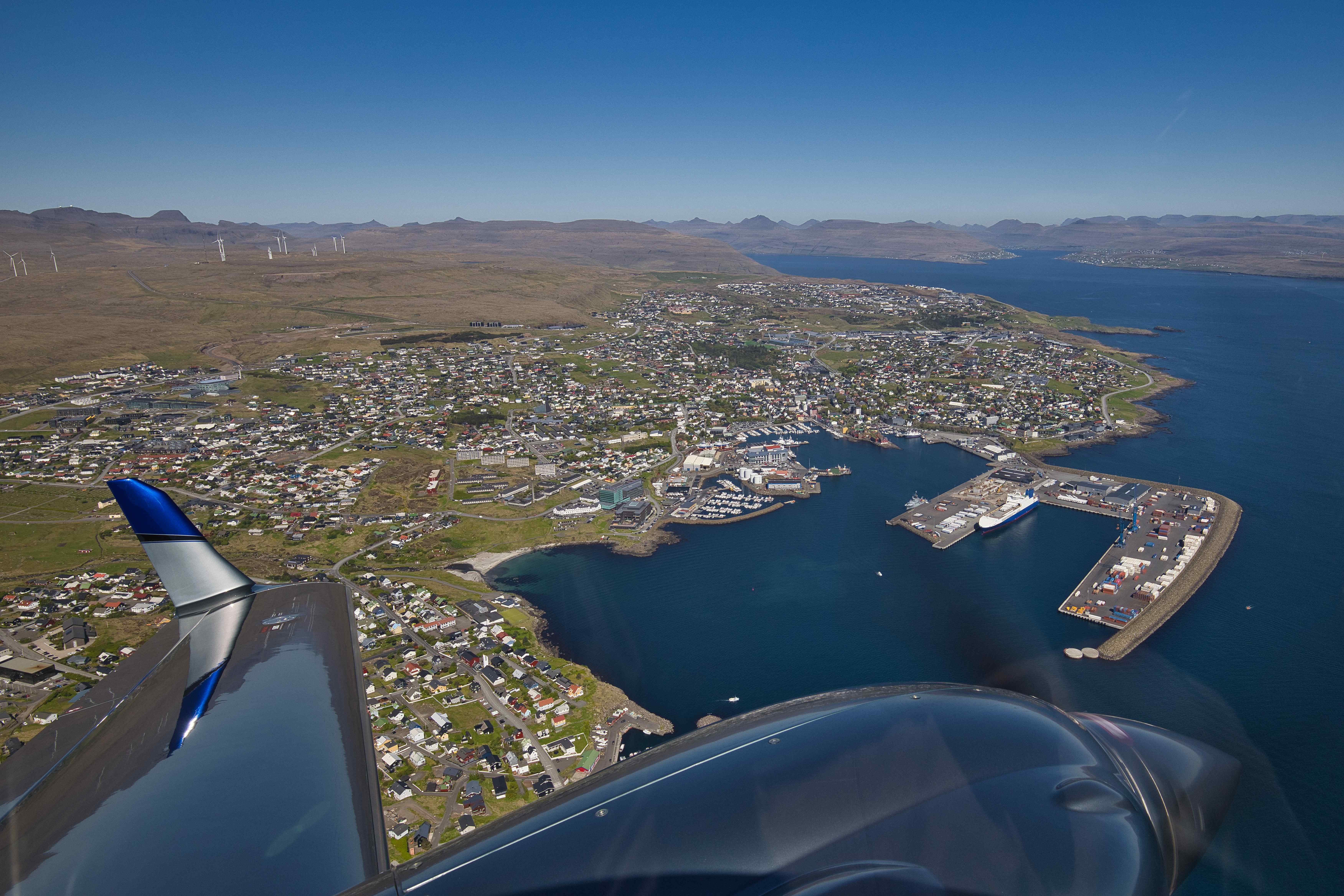
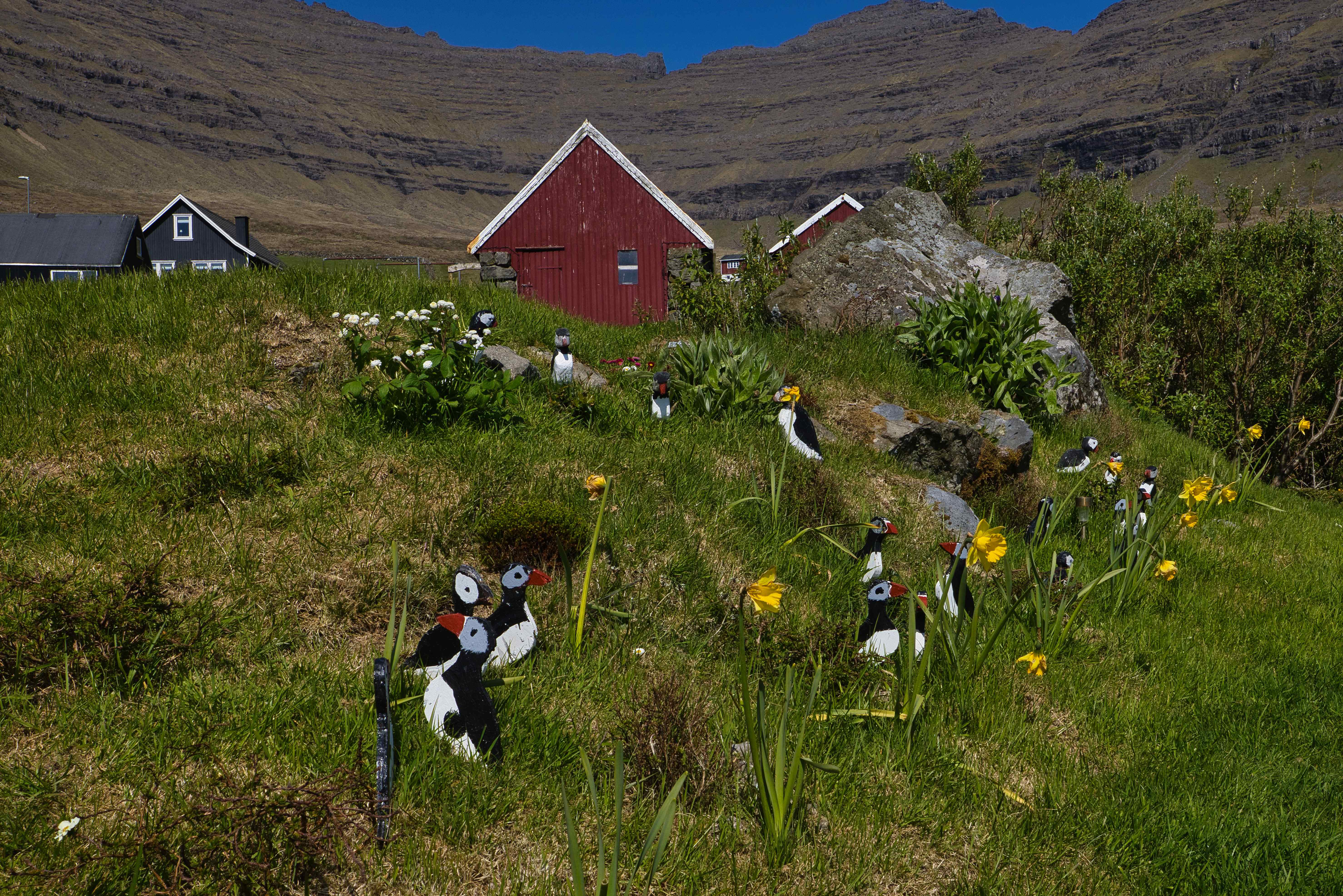
We stayed in Tórshavn, the largest city of the Faroes. And got the best ever homemade Fish and Chips from Fisk og Kips, a tiny food booth that has existed for more than 60 years.
Our adventure day by day
| Date | Itinerary |
|---|---|
| Wednesday May 14th | Roskilde (EKRK) to Wick (EGPC) Wick (EGPC) to Vagar (EKVG) |
| Thursday May 15th | Vagar (EKVG) to Vagar (EKVG). One and a half hour of flightseeing over the Faroes. |
| Friday May 16th | Climbed Slættaratindur (highest peak on the Faroes) and Villingadalsfjall (third highest peak on the Faroes) |
| Saturday May 17th | Vagar (EKVG) to Roskilde (EKRK) |
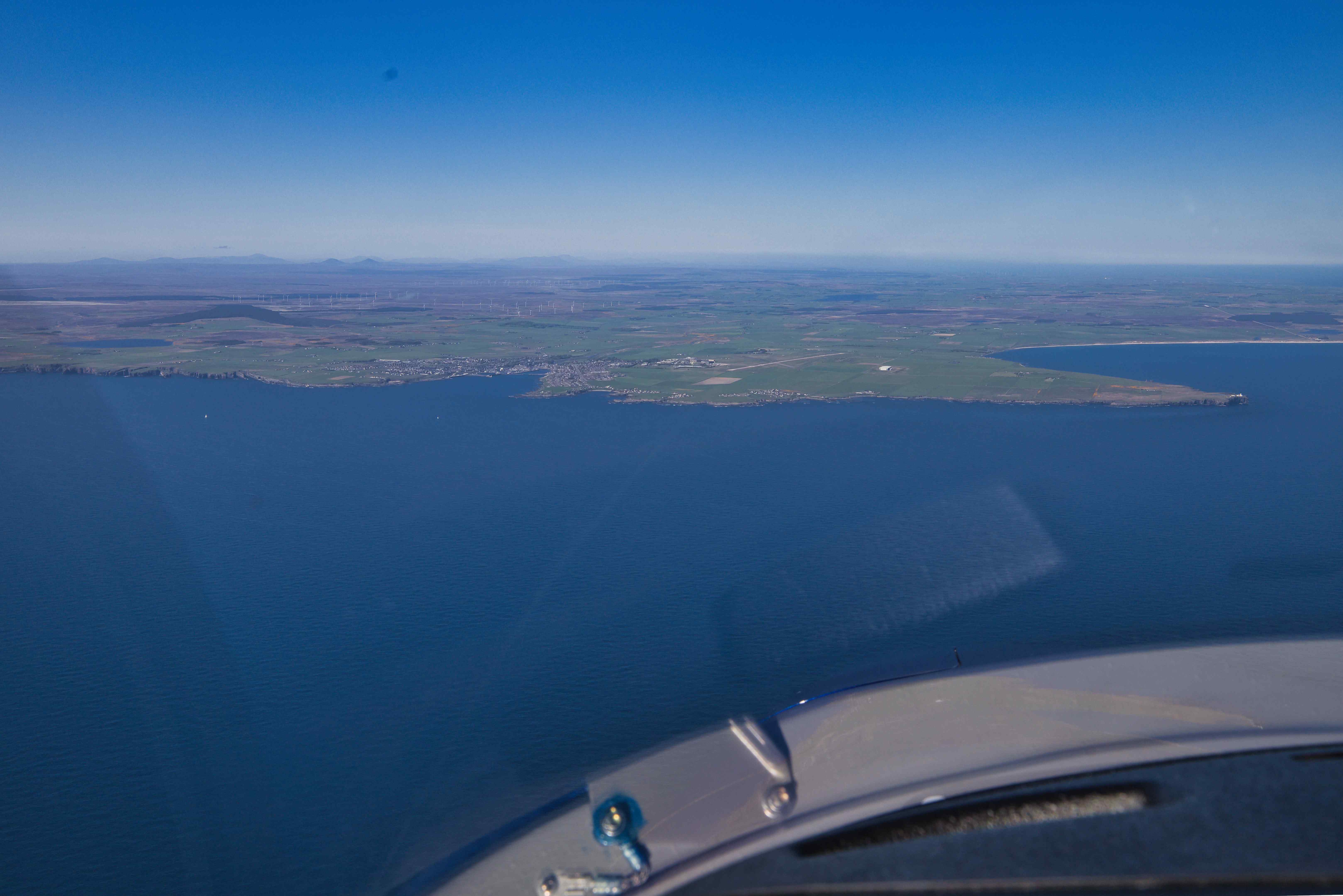
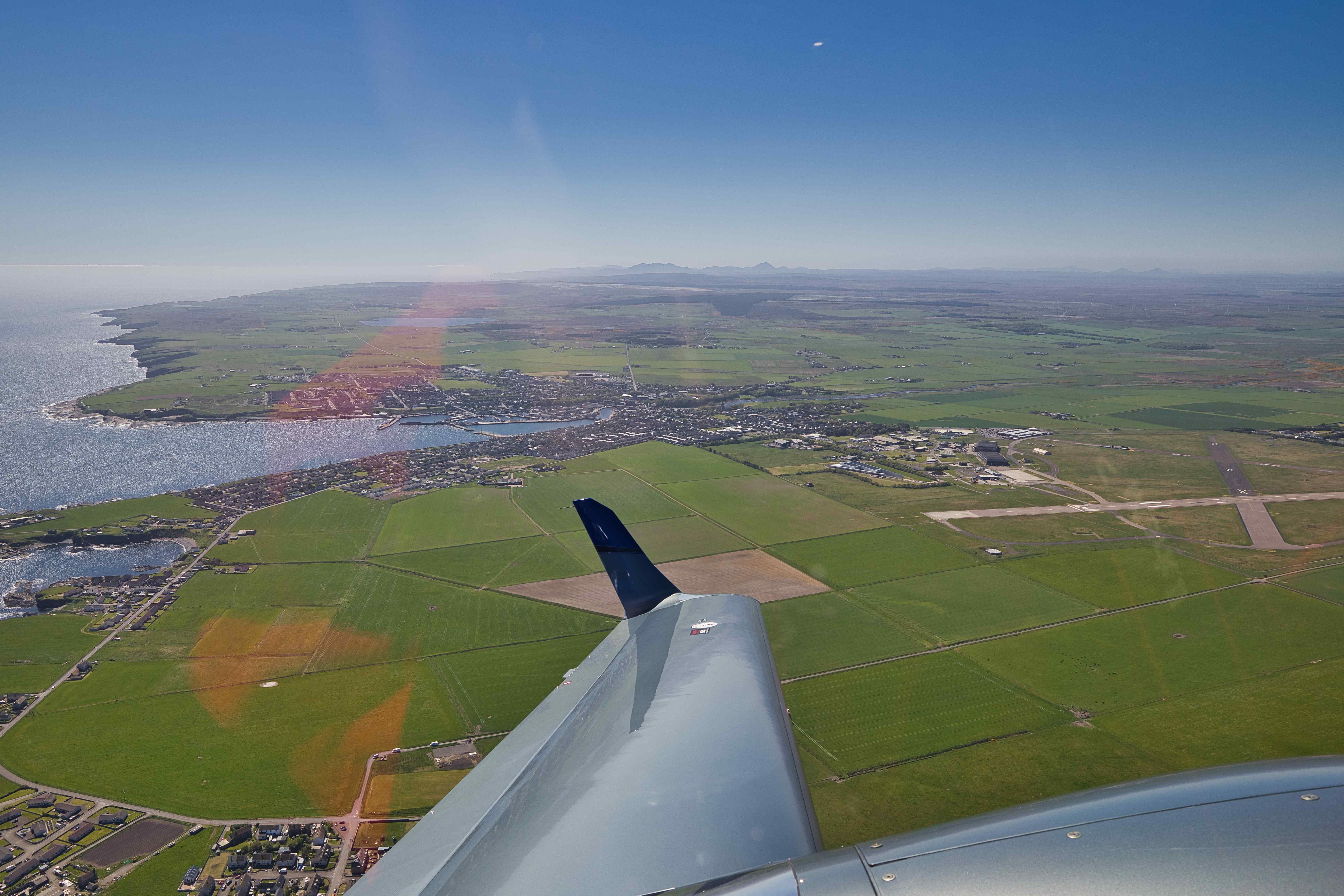
From Roskilde (EKRK) to Wick (EGPC)
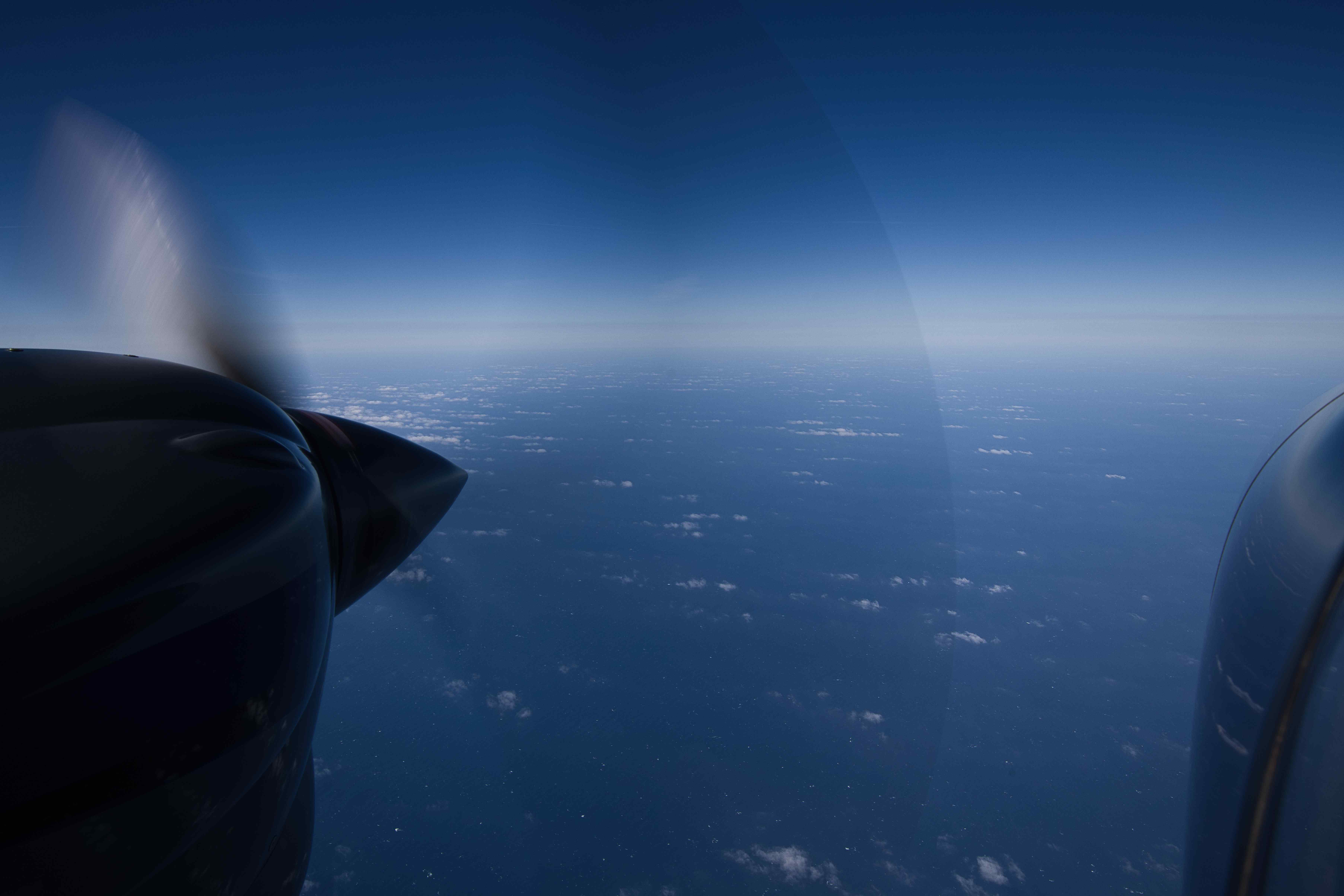
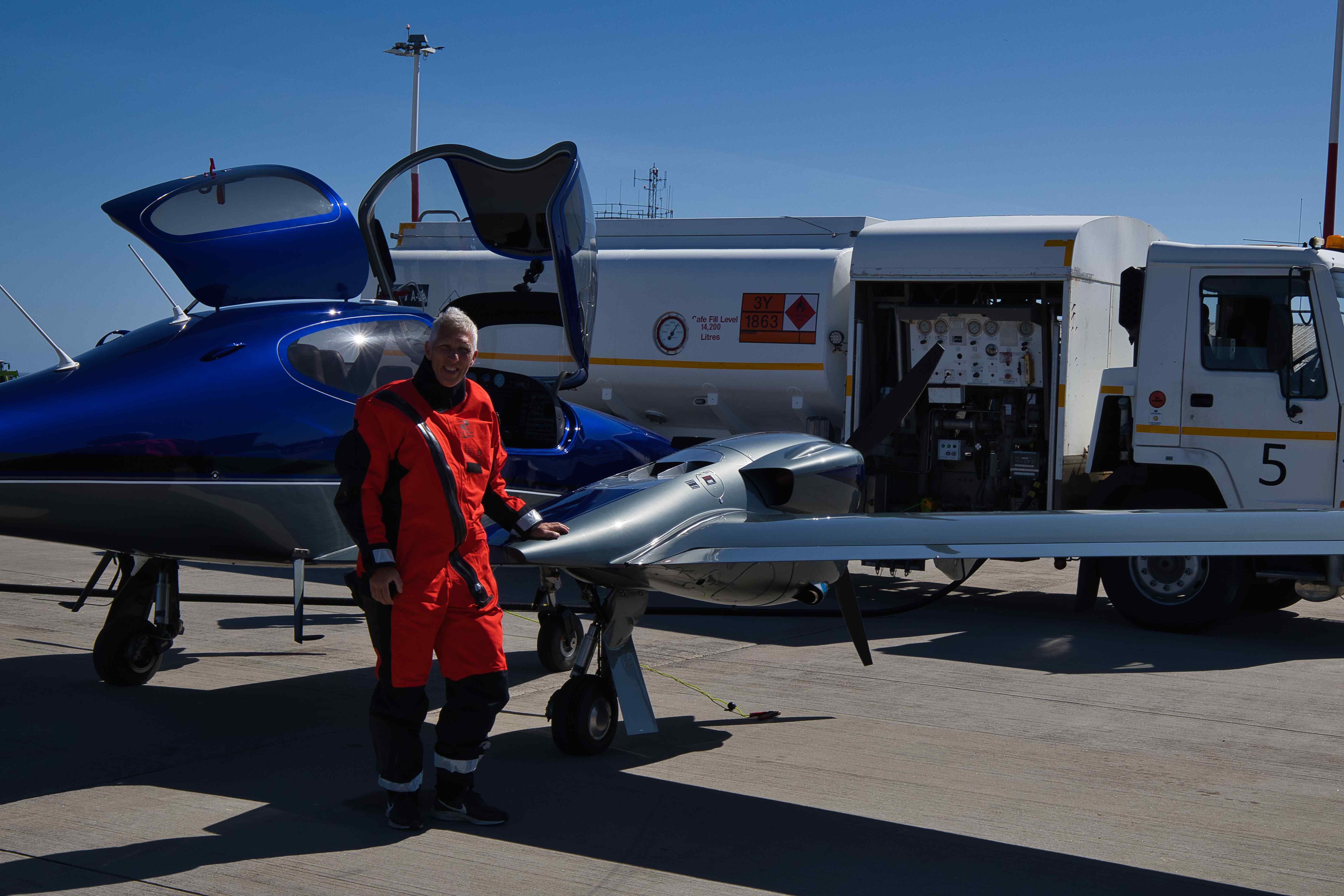
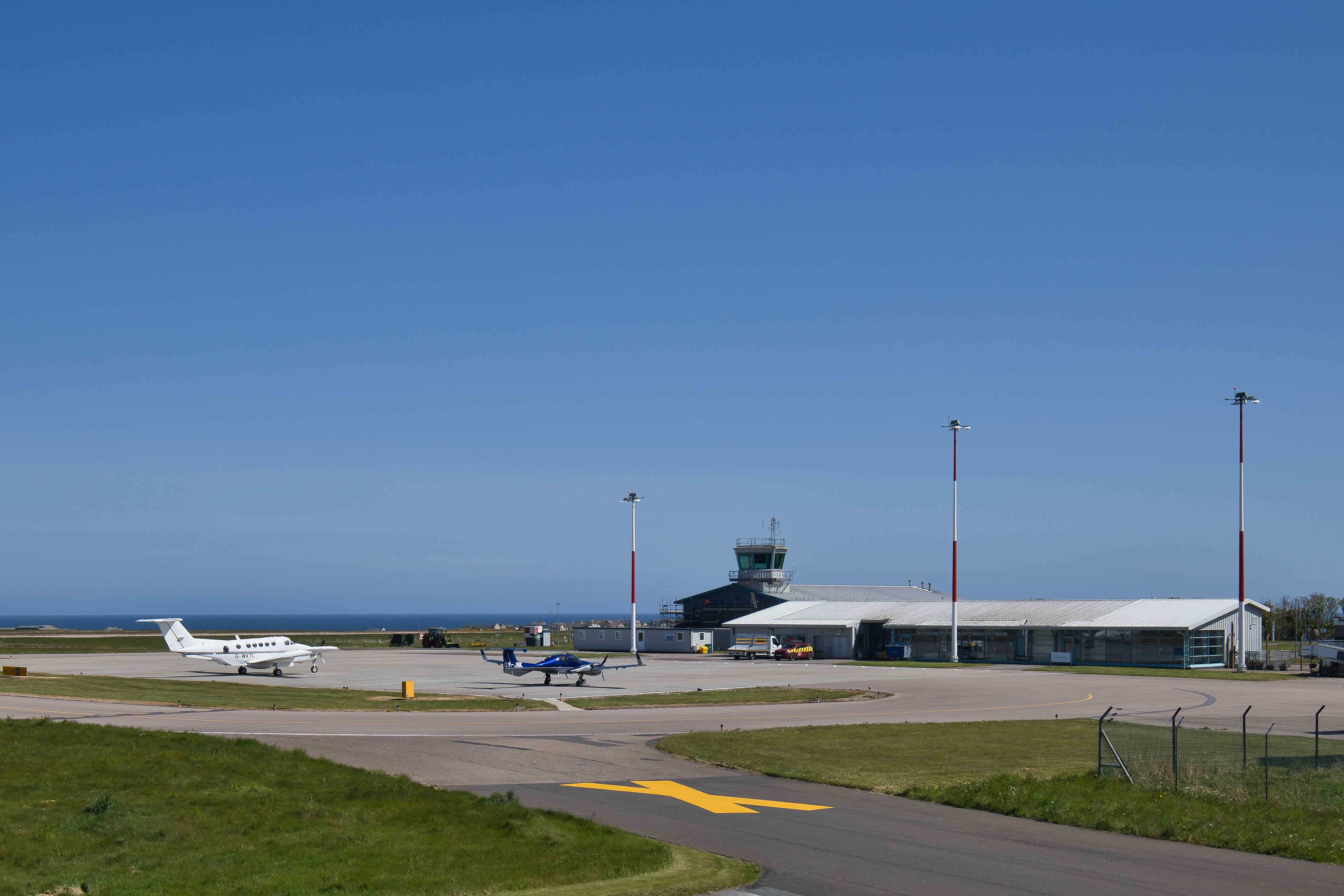
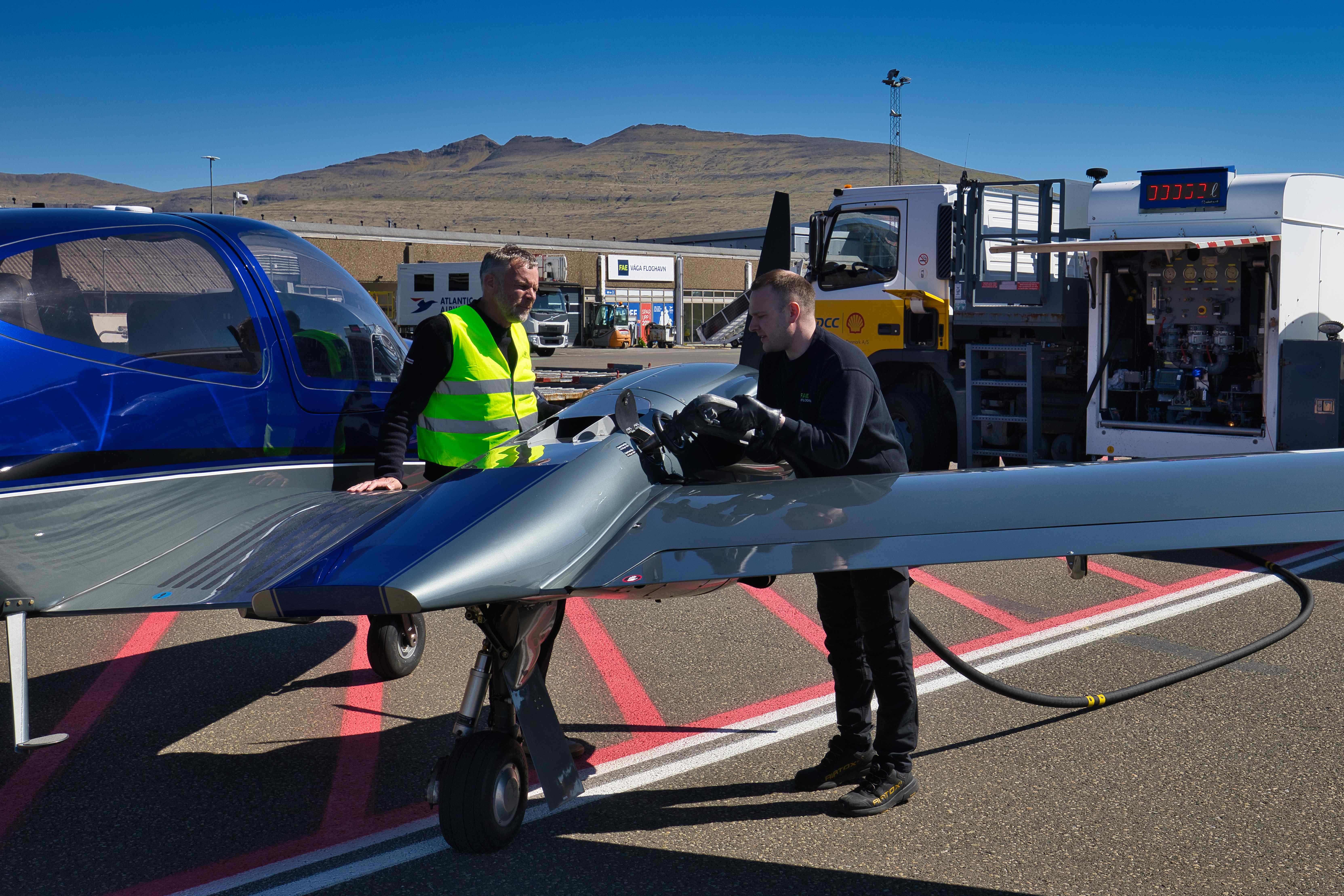
We departed from Roskilde (EKRK) around 9am and flew for 3:20 hours before arriving at Wick in Scotland (EGPC) for fuel and lunch. We could have flown directly to Vagar in the Faroes, but if we for any reason couldn’t land at Vagar, the only airport in the Faroes (EKVG), the nearest alternative in Iceland would be another two hours of flight time away…


From Wick (EGPC) to Vagar (EKVG)
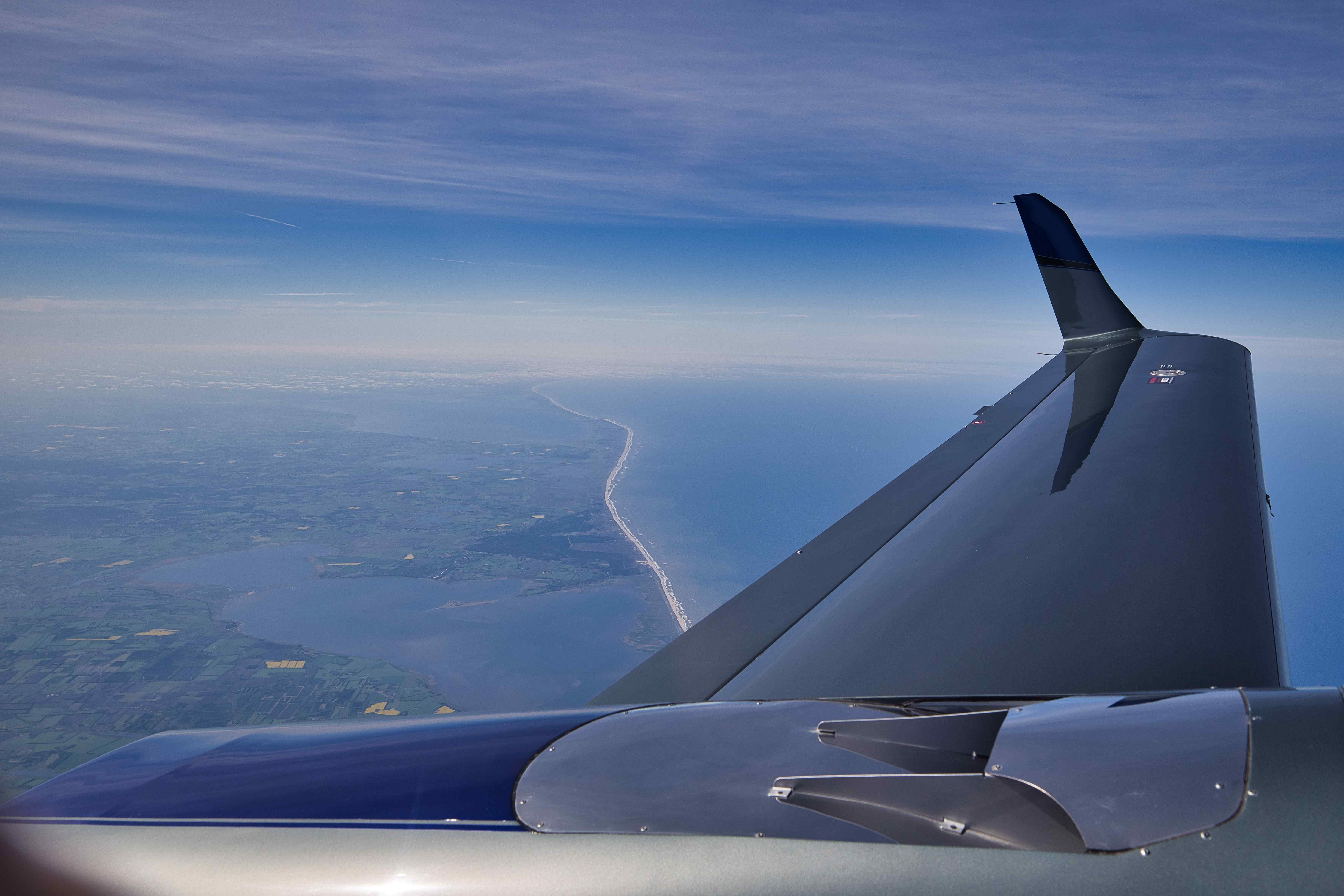
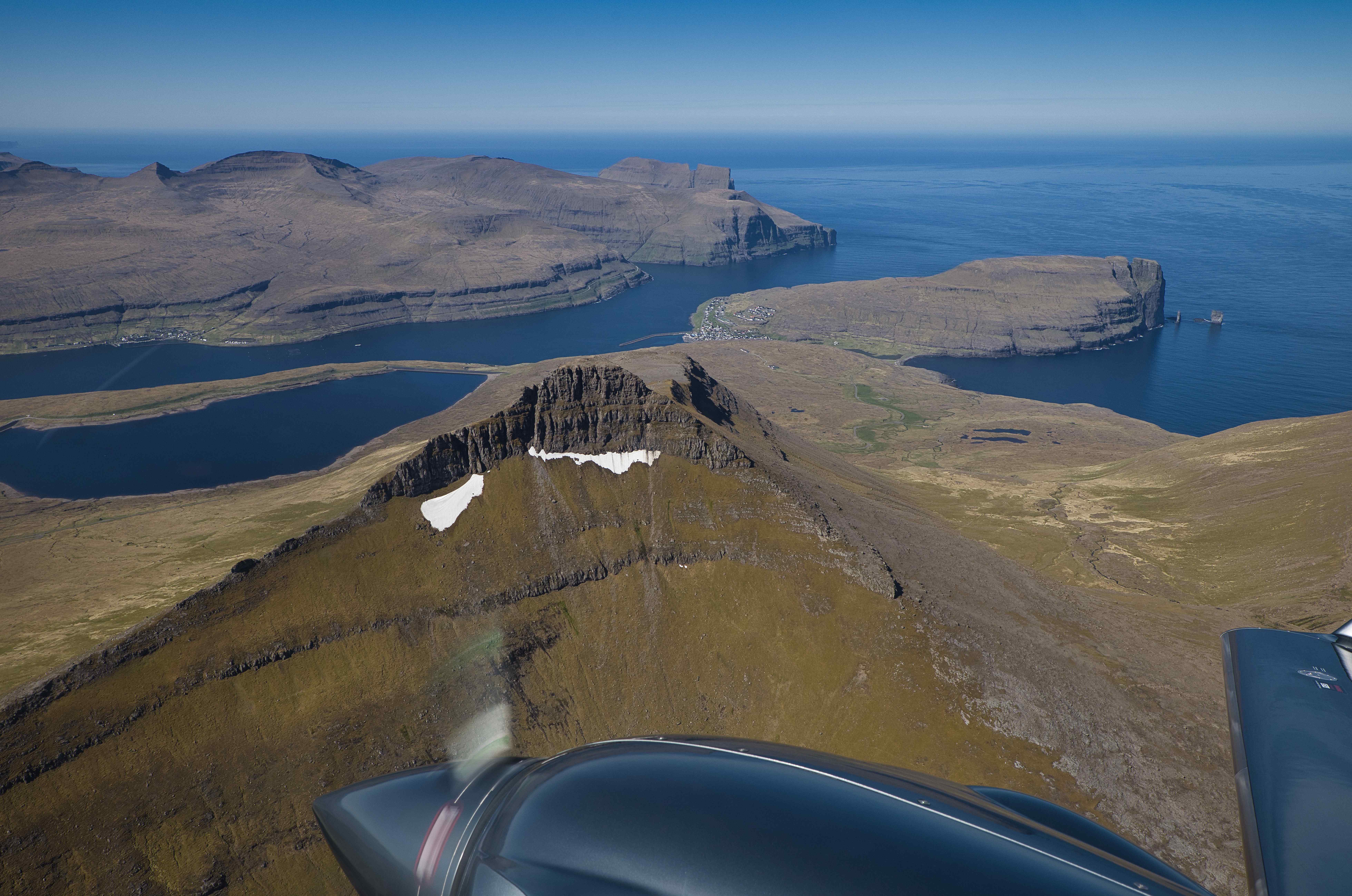
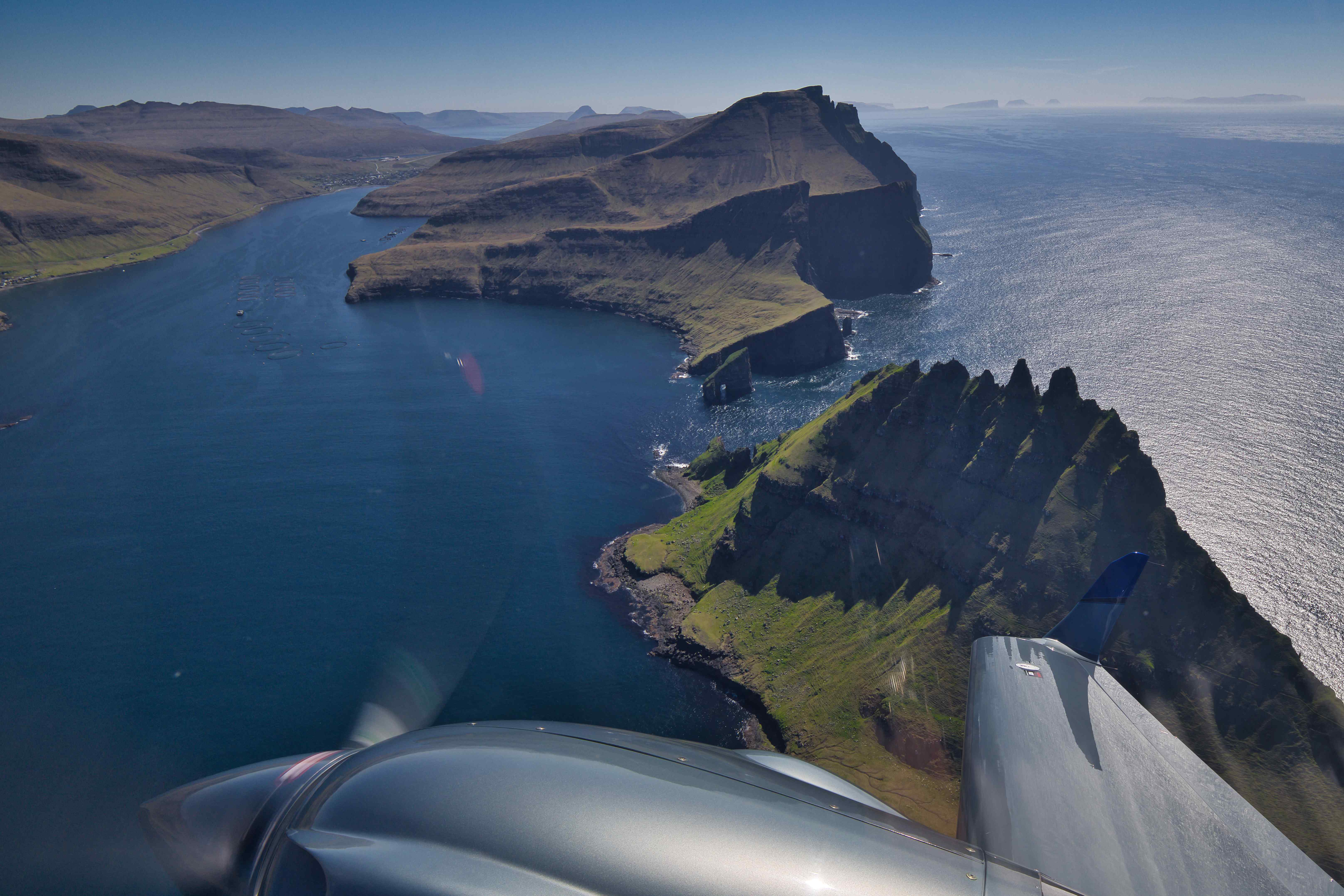
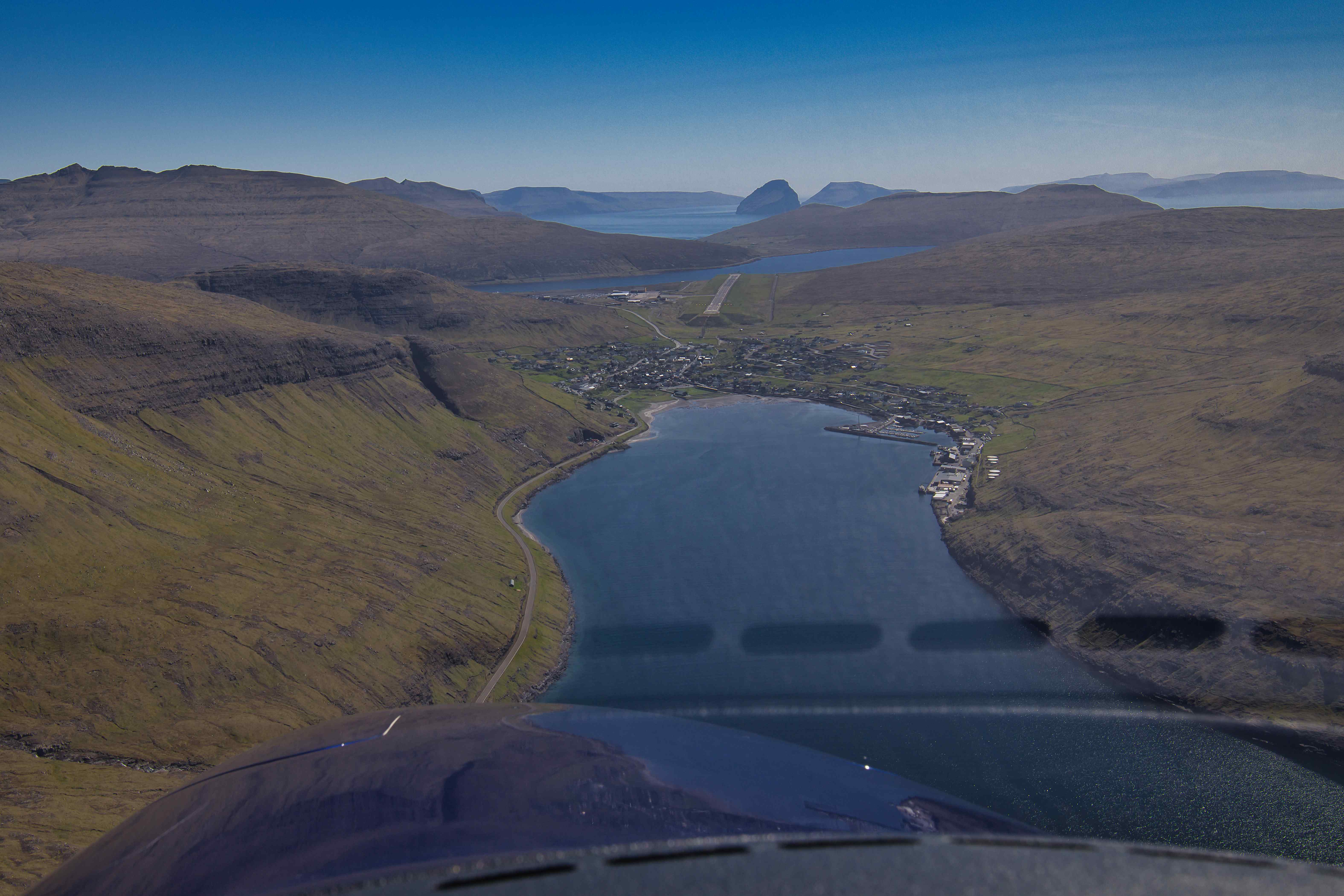
After lunch at the best Fish&Chips restaurant in Wick we continued towards the Faroes. The high pressure weather system had already settled over the Islands so we spent 45 hours flying around the islands for some sightseeing before coming in for a visual approach to runway 30 via Sørvágsvatn (aka Leitisvatn), the biggest lake on the islands which are only separated from the ocean via the tall 30 meter high waterfall Bøsdalafossur.


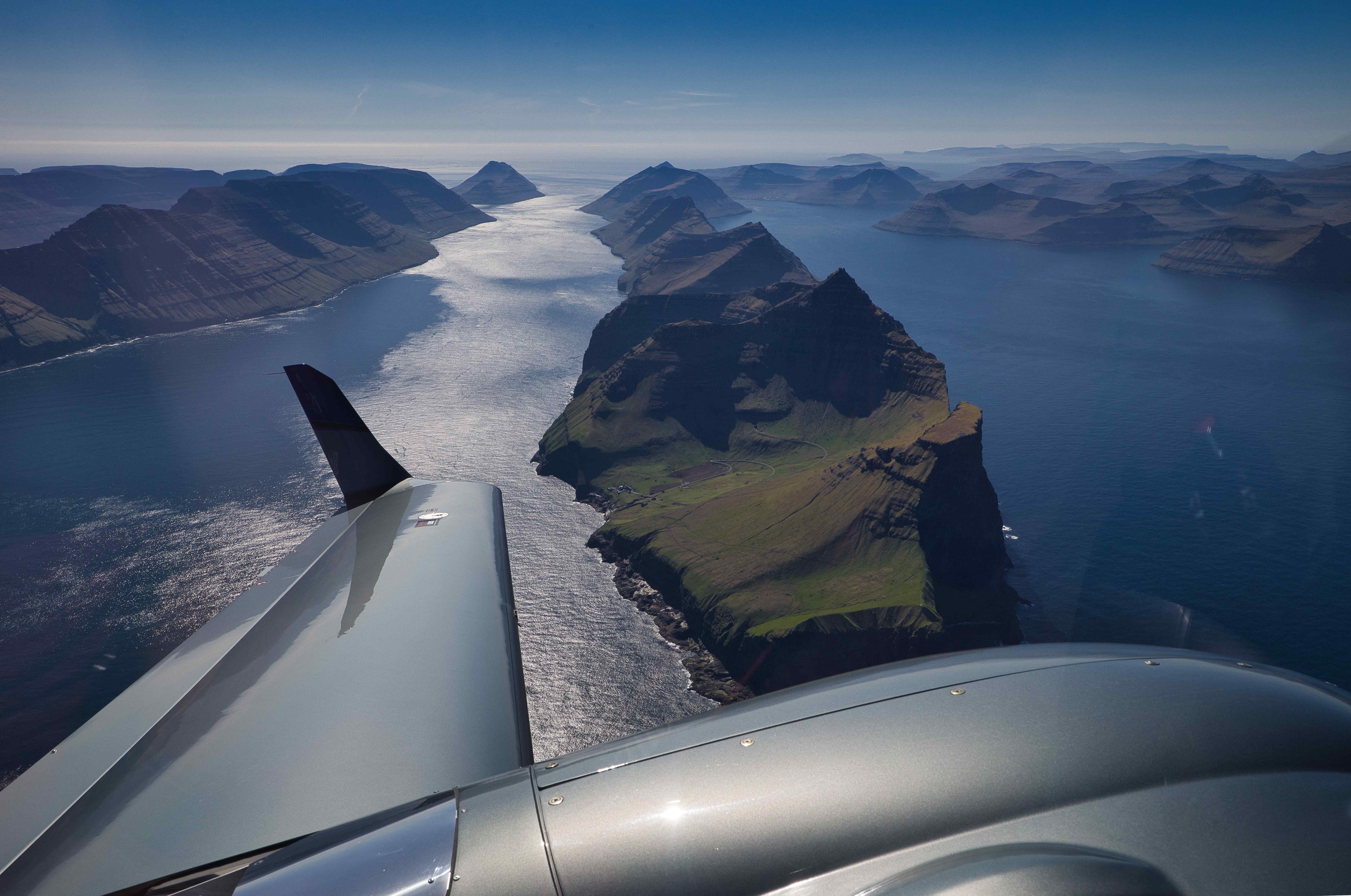
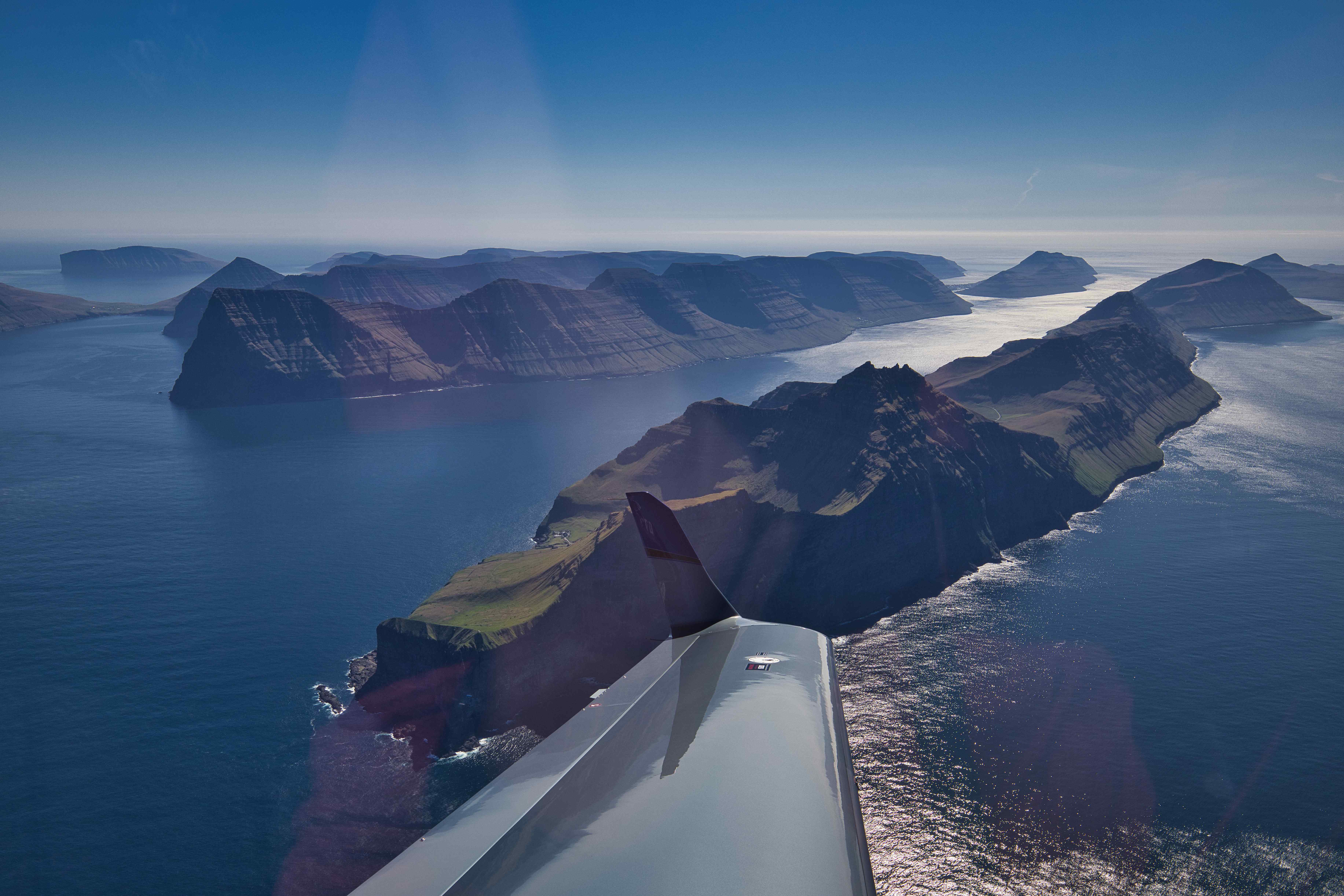
Flightseeing around the Faroes
The day after arriving to the Faroes we did another one and a half hour of flightseeing over the beautiful islands. The weather was unusually awesome for the Faroes, not a single cloud could be found anywhere and no winds or turbulence made for a really smooth ride between the islands. We flew around the island of Mykines to the west, around Fugloy to the far east, over Tórshavn and Klaksvík, the two biggest cities of the islands and over Slættaratindur, the highest peak on the islands. After one and a half hour of flying we came in through Sørvágsfjørður fjord and over the tiny city of Sørvágur for a landing on runway 12.


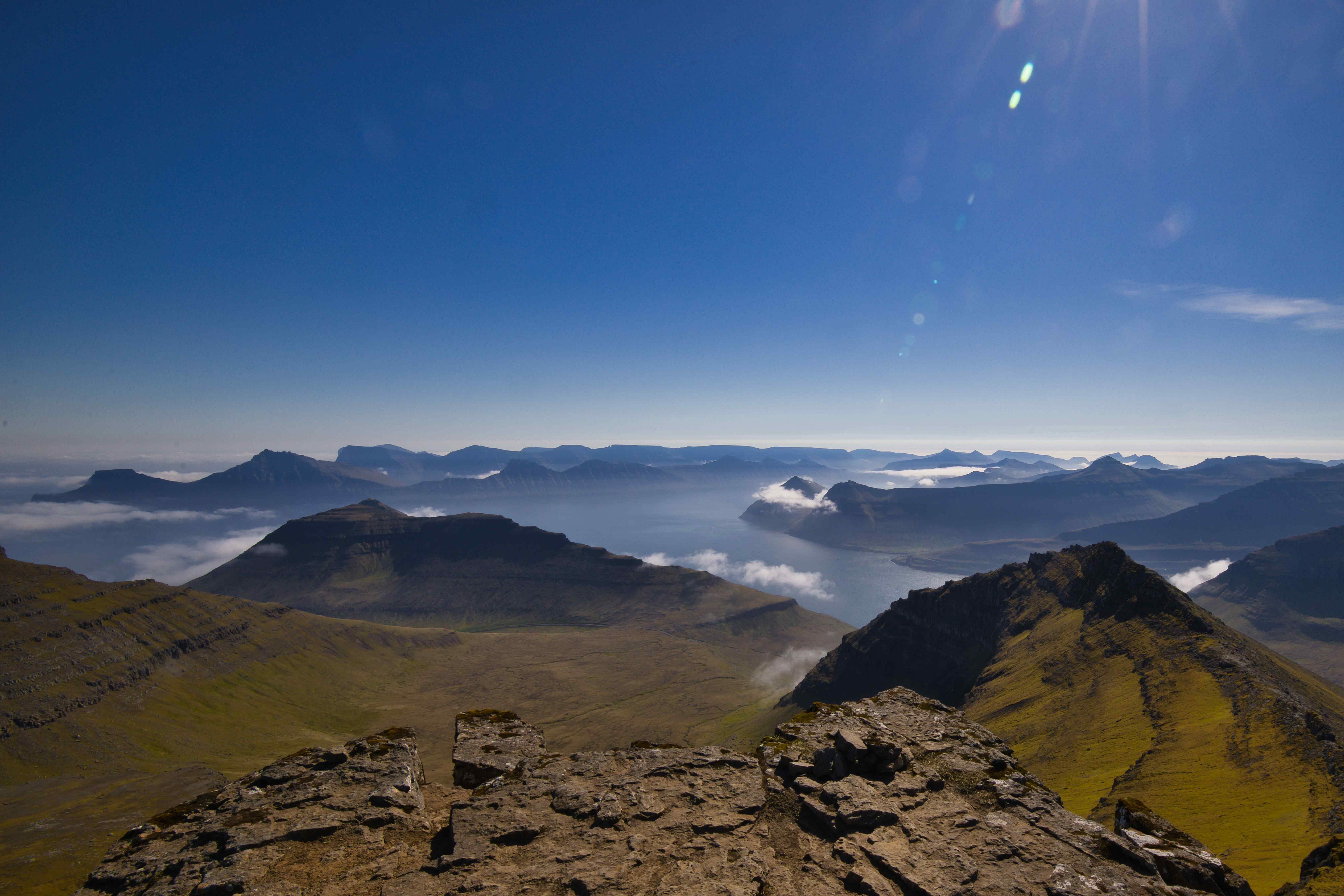
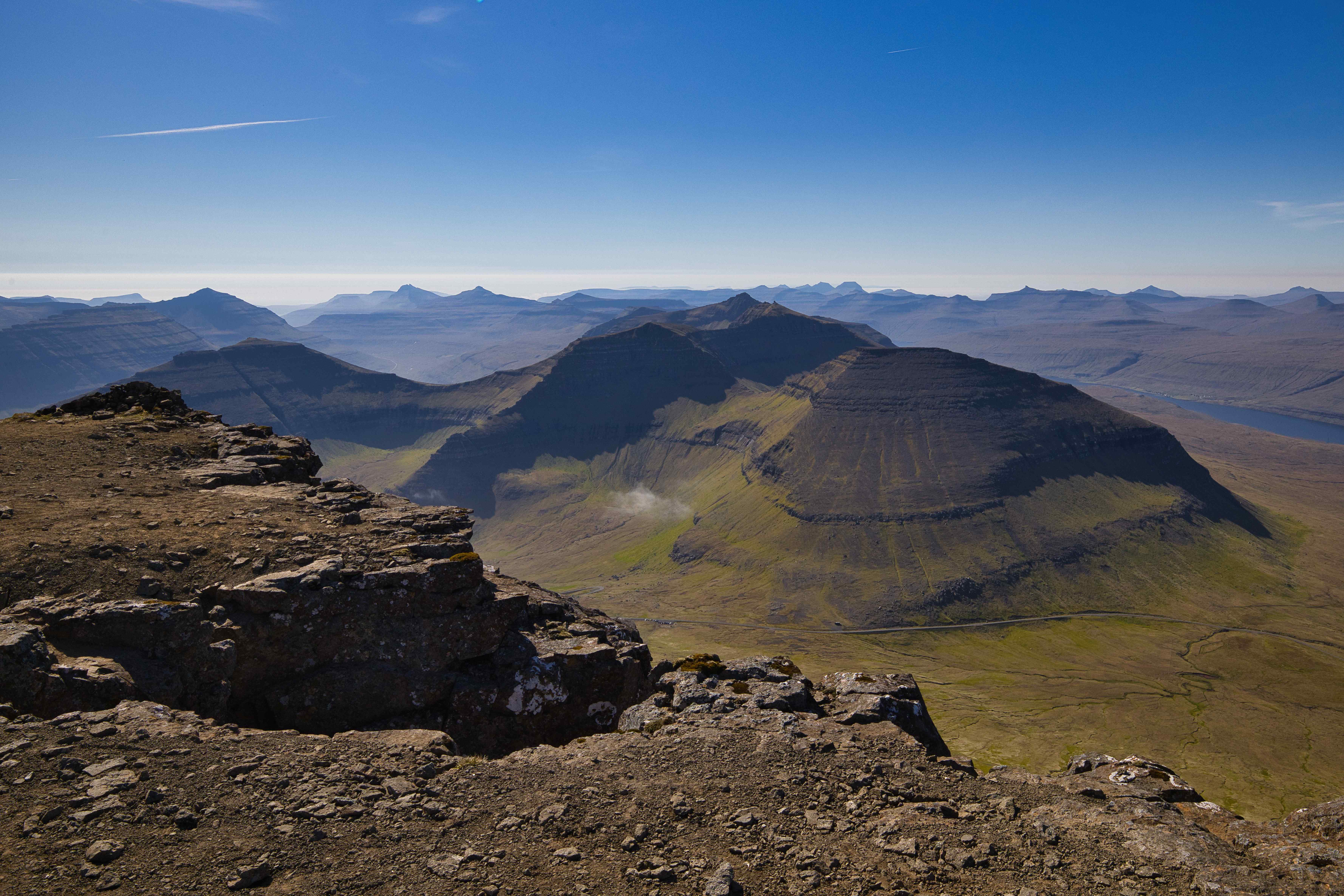
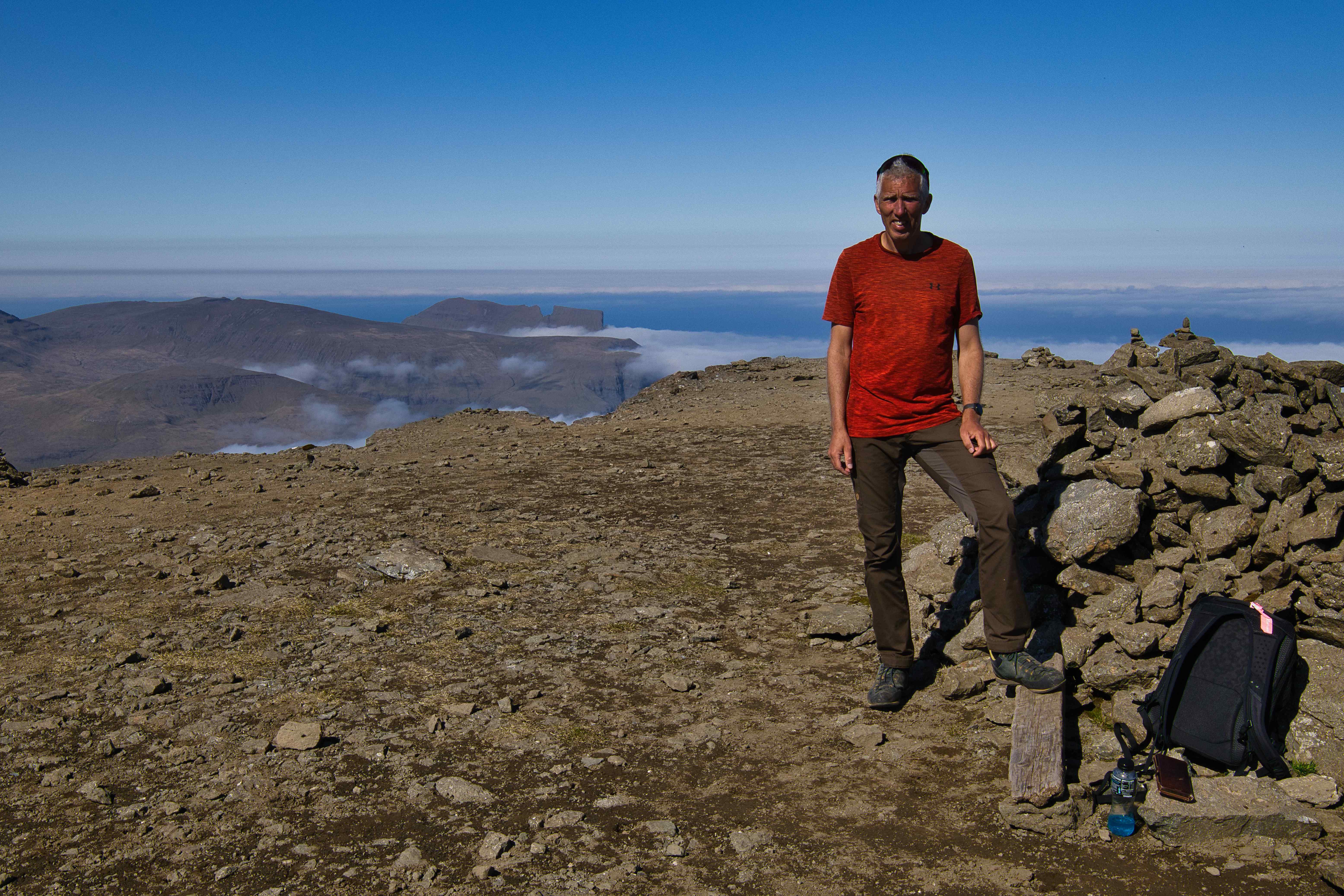
Climbing Slættaratindur (highest peak)
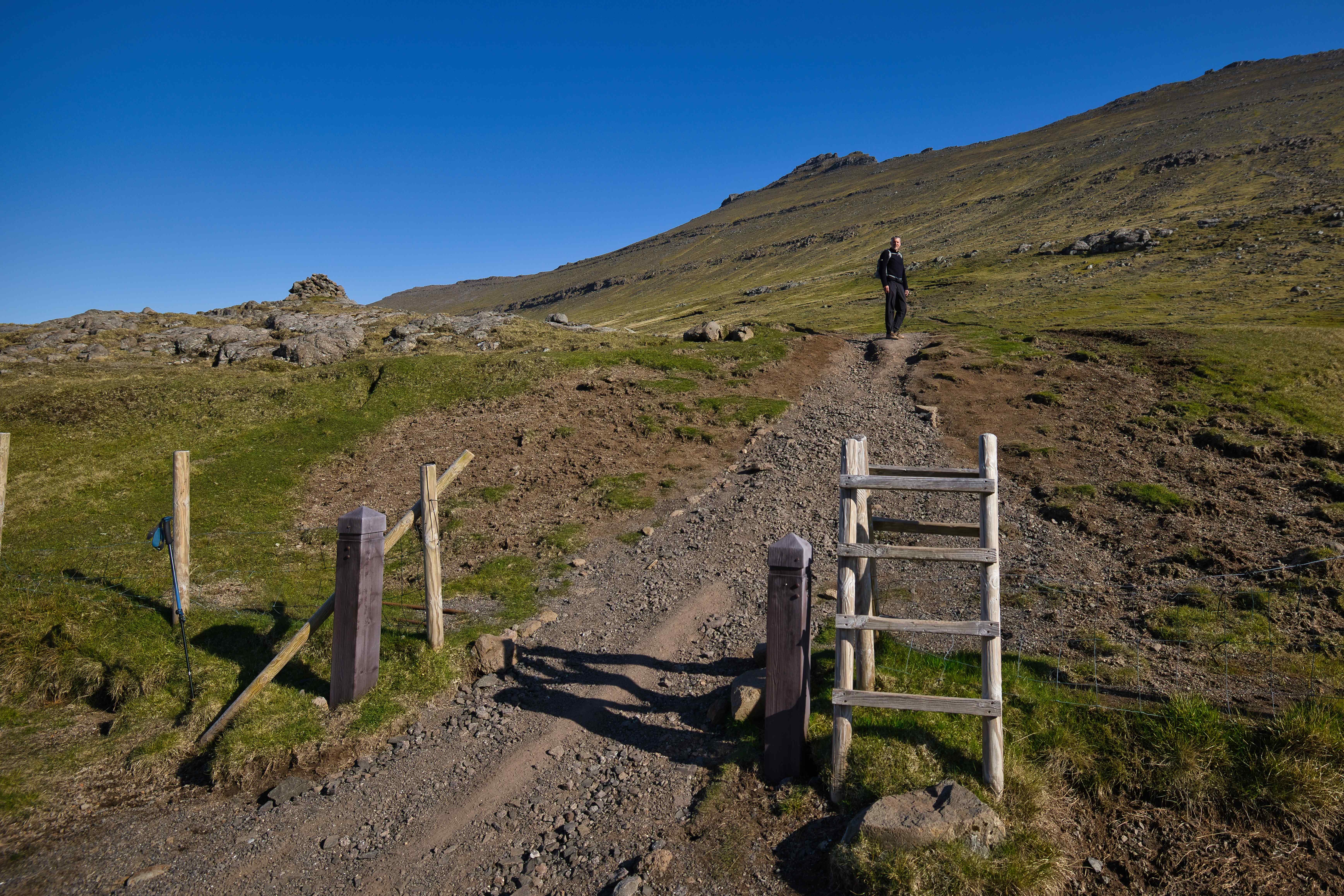
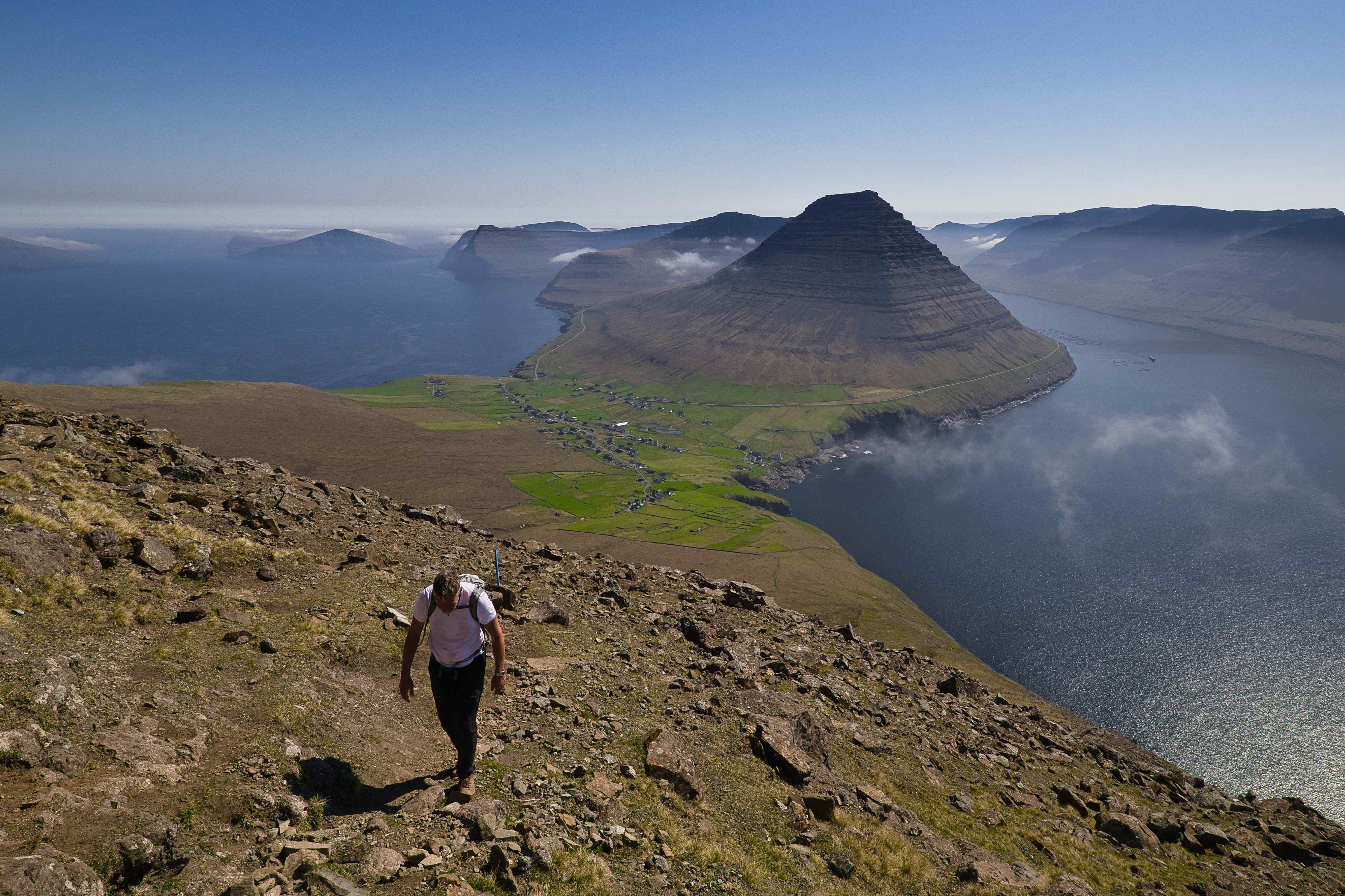
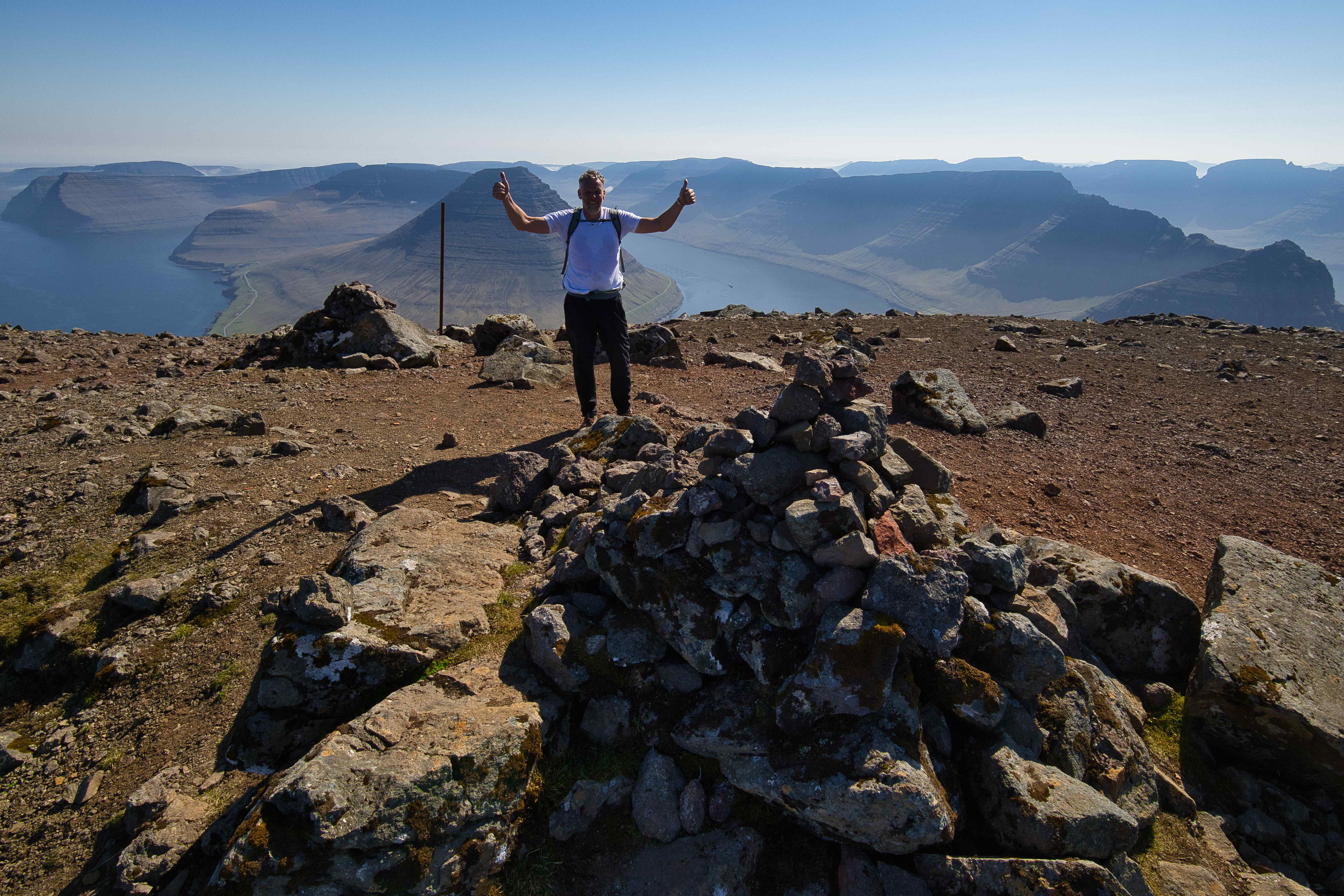
Our second full day on the Faroes was another almost cloudless day. We decided to climb 880 meter high Slættaratindur, the highest peak on the islands. The climb is easy as the trail to the summit starts at around 400 meters above sea level.

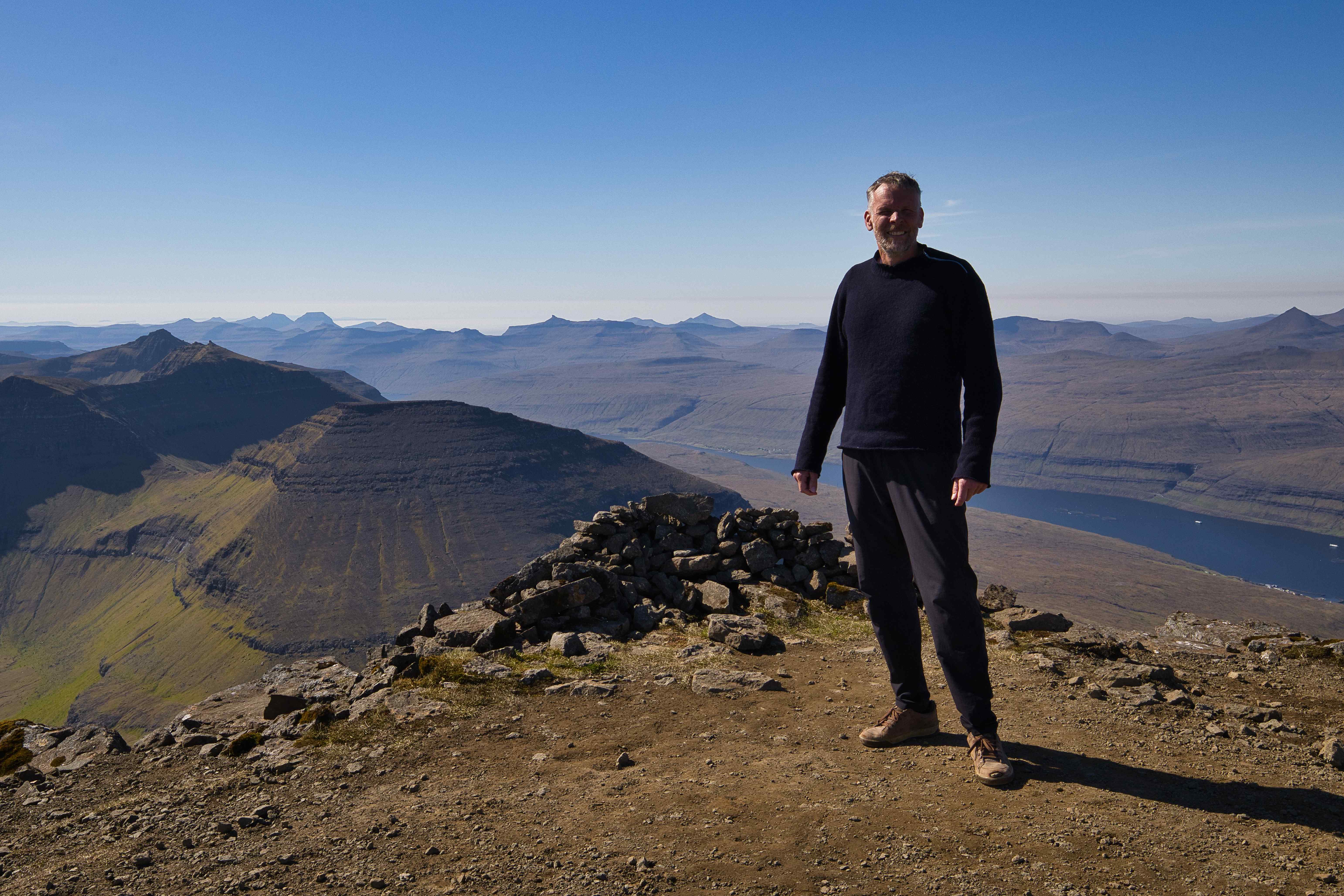
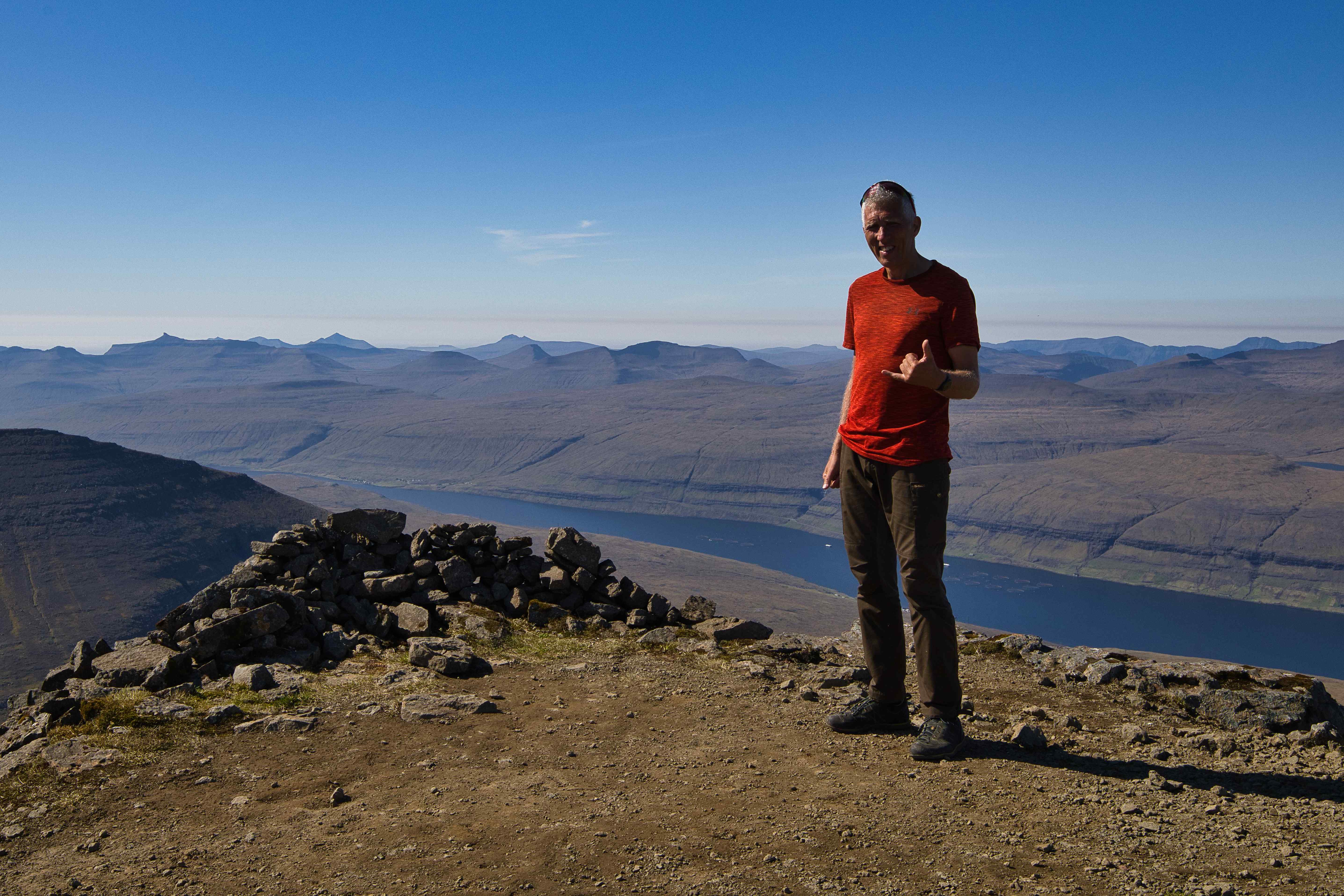
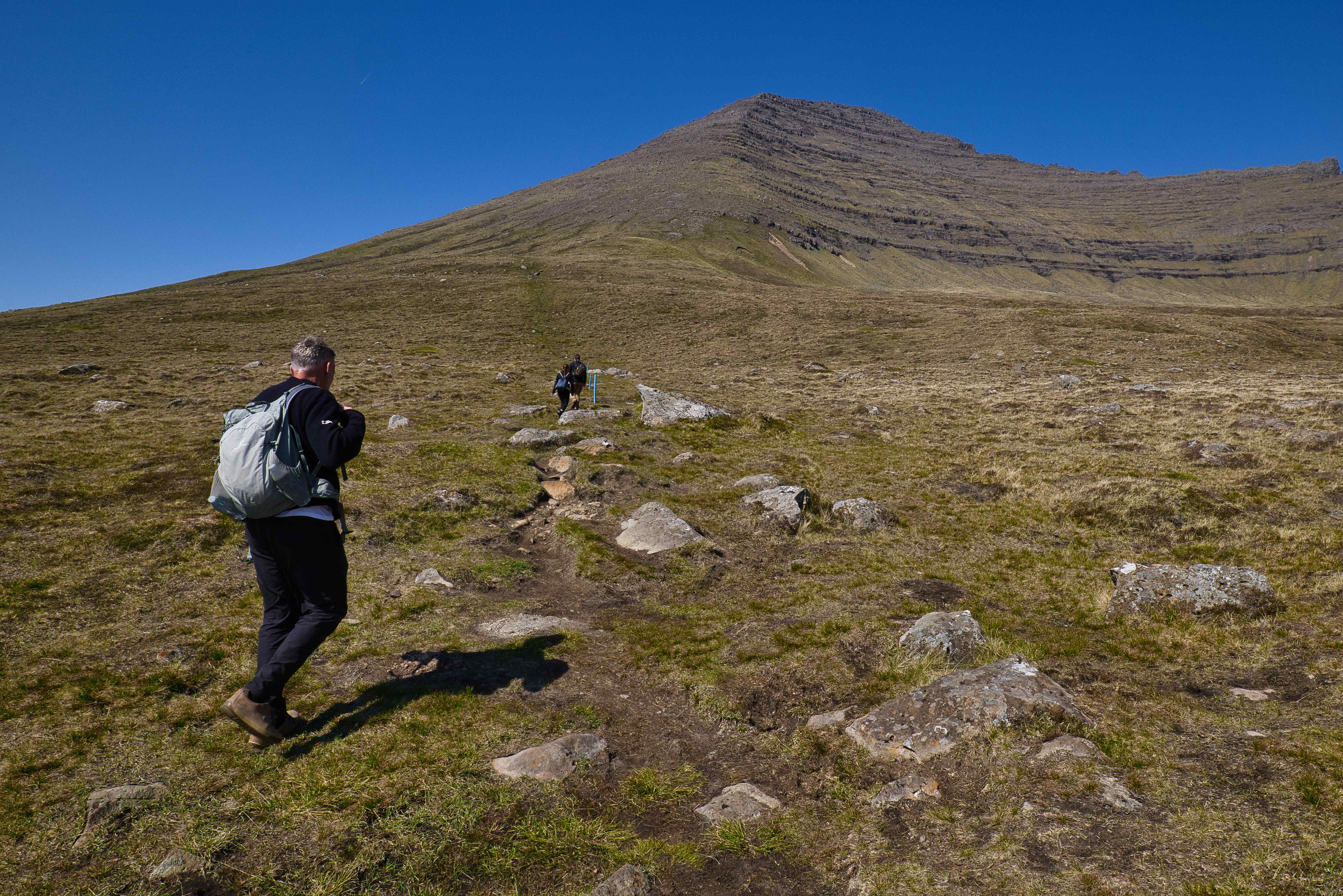
Climbing Villingadalsfjall (third highest peak)
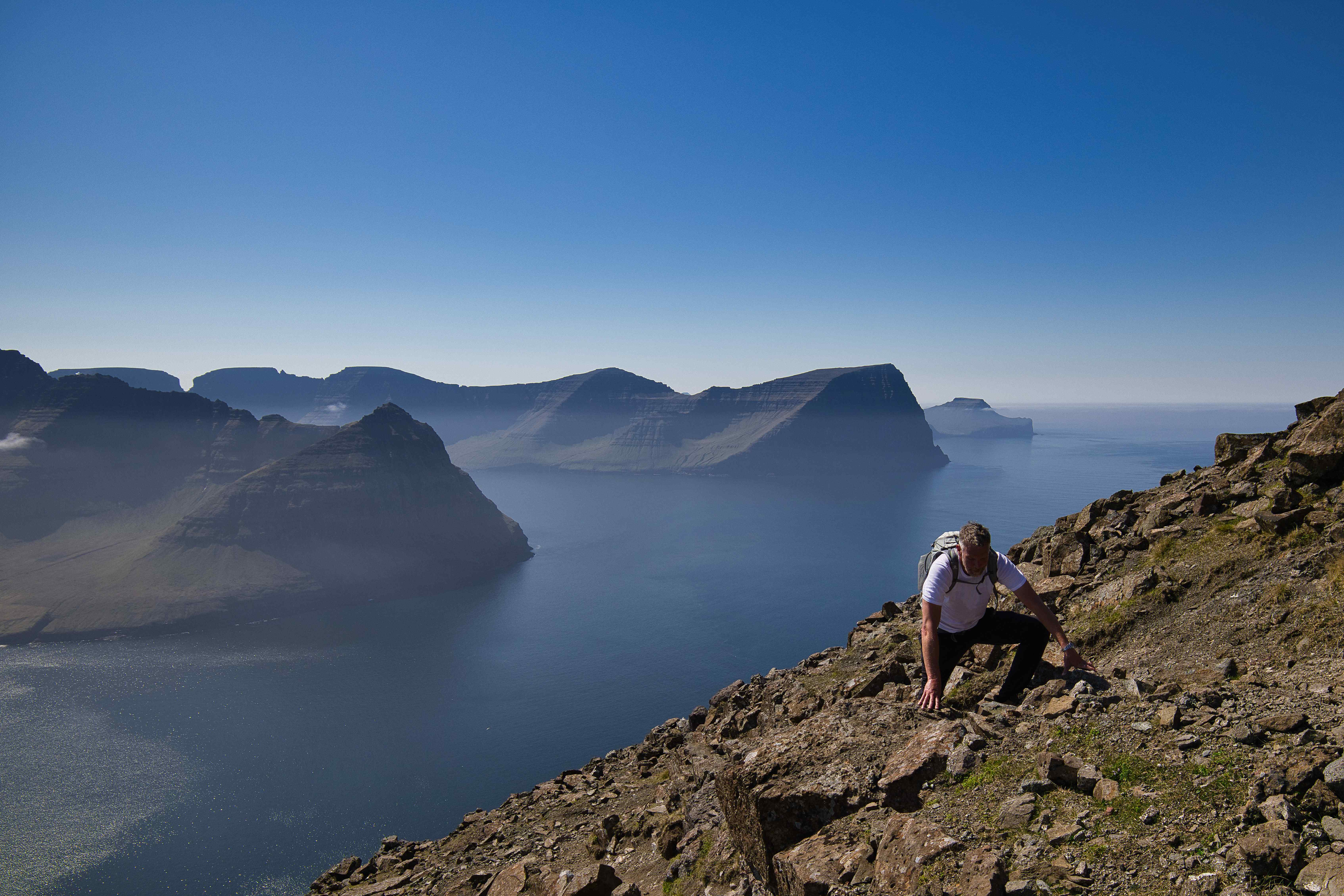
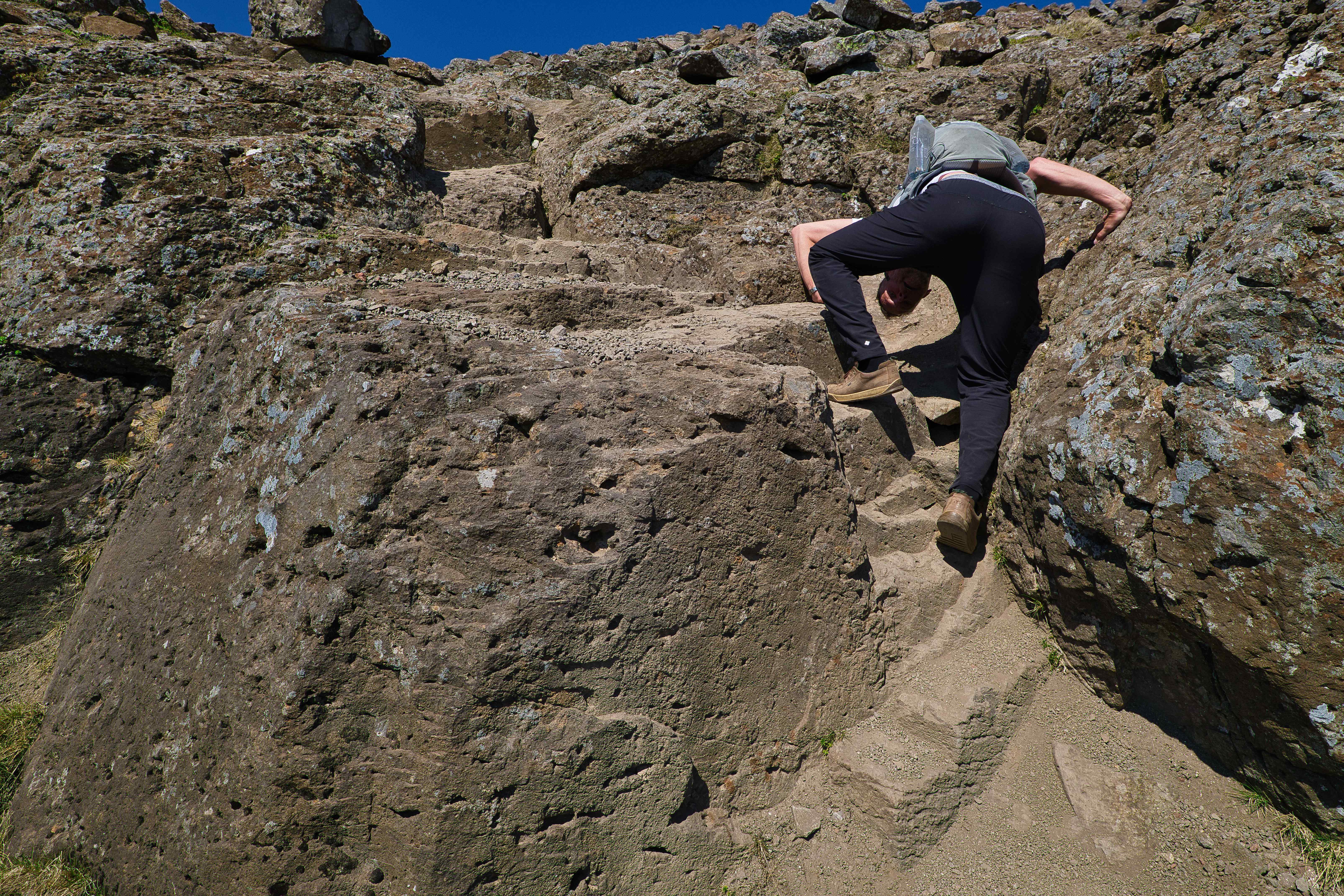
After coming back from the summit of Slættaratindur we decided to try to reach the summit of 841 meter high Villingadalsfjall, the third highest peak of the Faroes. Villingadalsfjall is a one hour drive away from Slættaratindur and is located in the northernmost part of the island of Viðoy. The climb of Villingadalsfjall is much harder than that of Slættaratindur because the summit trail starts in Viðareiði almost at sea level. Viðareiði is the northernmost settlement in the Faroes.
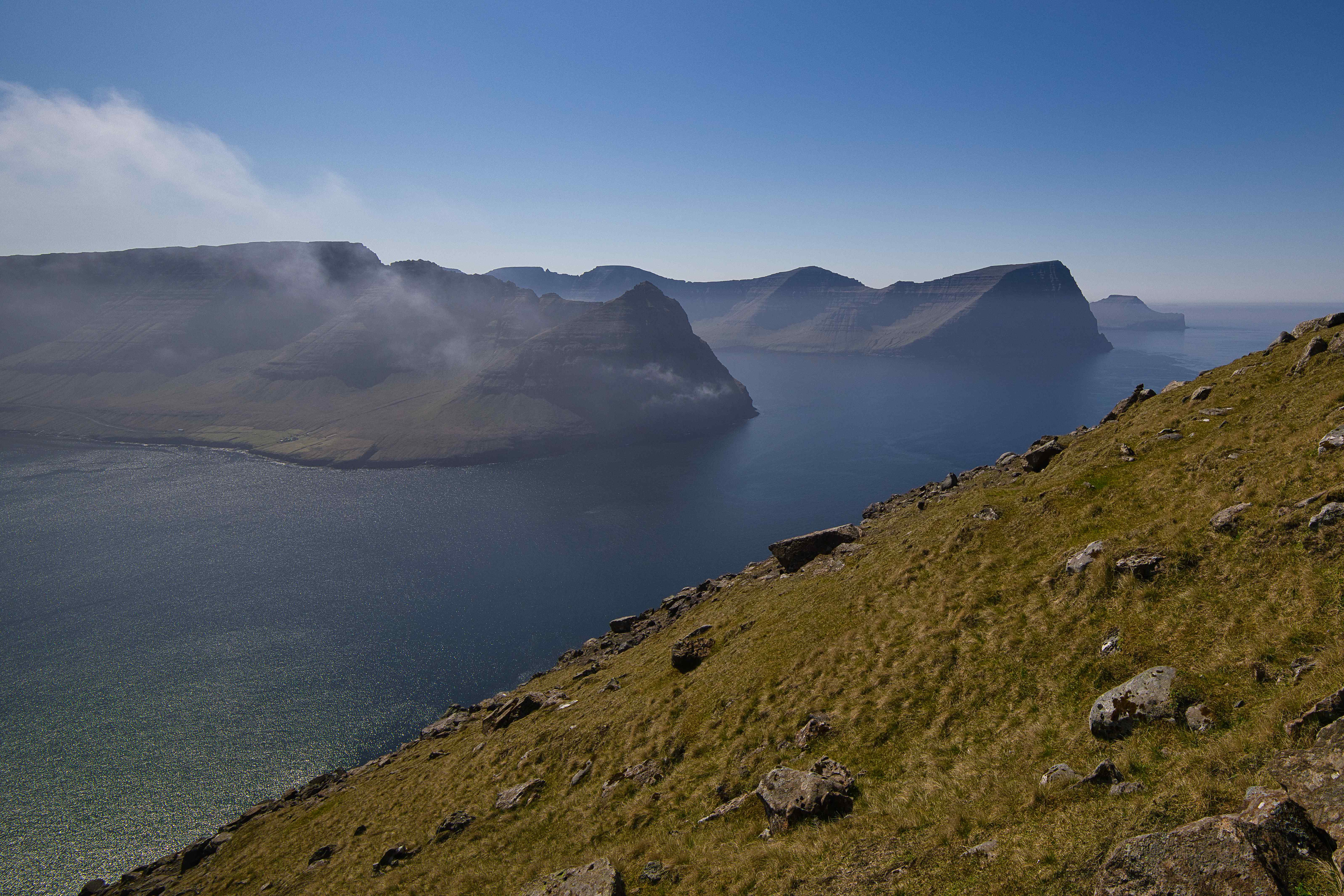
After summiting Villingadalsfjall we continued hiking for another 40 minutes to the top of 750 meter high Cape Enniberg, the northernmost point of the Faroes and the second-highest sea-cliff in Europe (after Hornelen in Norway).


Leave a comment